Tod Creek Watershed

Tod Creek Flats
The Tod Creek Watershed is a largely rural residential area, mostly in the District of Saanich and adjacent to two protected areas, Tod Inlet to the north and Mount Work Regional Park to the west. The watershed is close to the urban core and contains salmon bearing streams, lakes, and endangered upland habitats.
Early settlers altered the ecosystem beginning in the mid-1800s. Farmers drained Tod Creek Flats and moved Tod Creek to the east to make room for crops and other land uses. The Flats soon lost its ecological integrity and the ability to support native fish was diminished.
In the lower reaches of the creek in Gowlland Tod Provincial Park, a dam constructed in the early 1900s to supply water to a cement plant blocked passage for returning adult salmon, after a wooden fishway fell into disrepair in the 1930s. Unfortunately, the robust genetics that were required for fish to ascend the river to the fishway were lost at that time.
Restoration Work
We have been actively repairing degraded sections of the Tod Creek Watershed for several years to enhance and restore salmon habitat throughout the watershed, and to re-establish the lost coho salmon runs in Tod and Durrance Creeks.
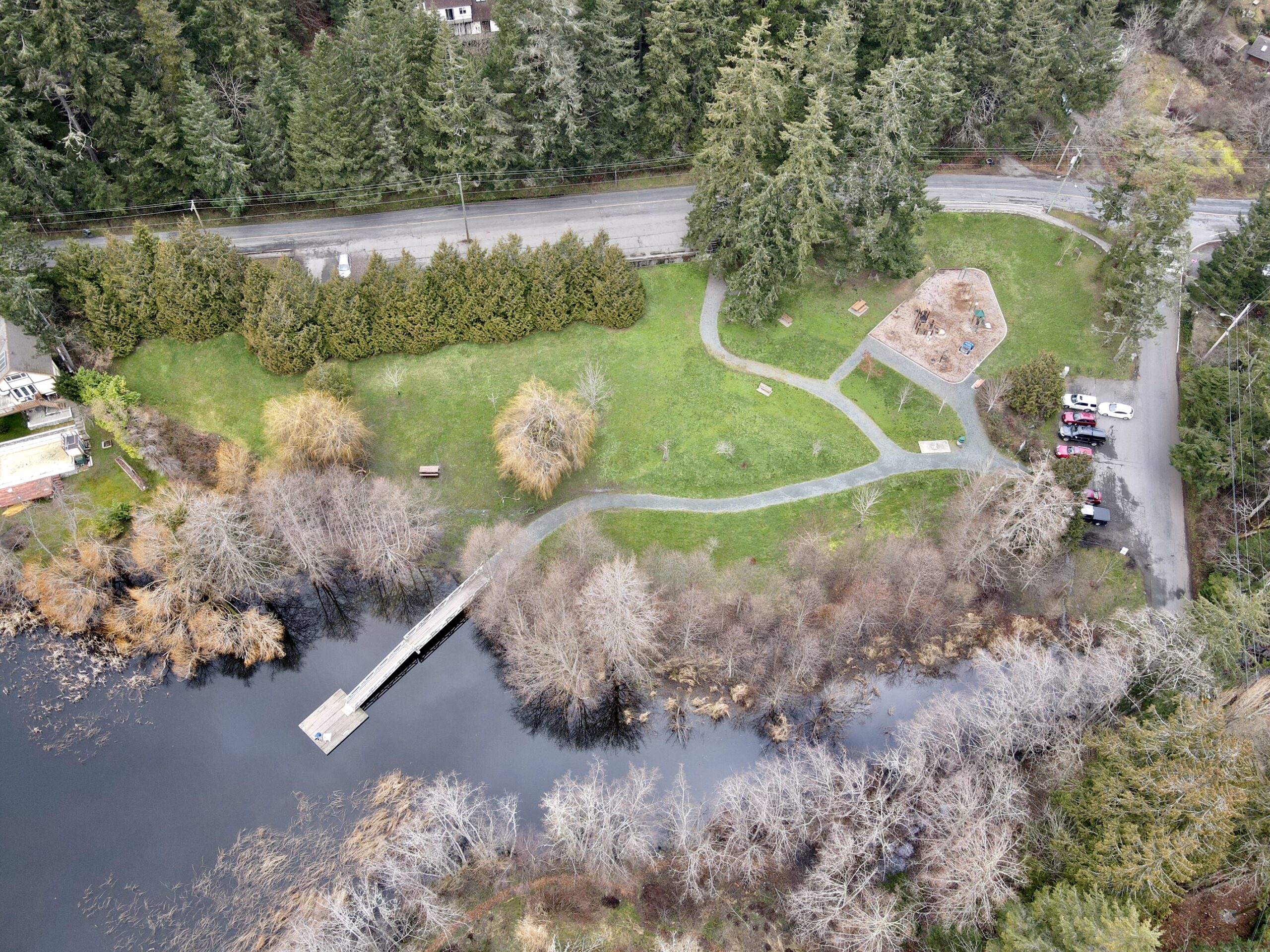
Watershed management is an ongoing collaboration with the Friends of Tod Creek Watershed. For decades, the group has removed invasive plants, such as golden willow, English hawthorn, Himalayan blackberry, and yellow flag iris, from the Prospect Lake inlet to Tod Creek (Whitehead Park) and replanted with native vegetation. They also measure water flow, temperature, and dissolved oxygen throughout the watershed to evaluate fish habitat.
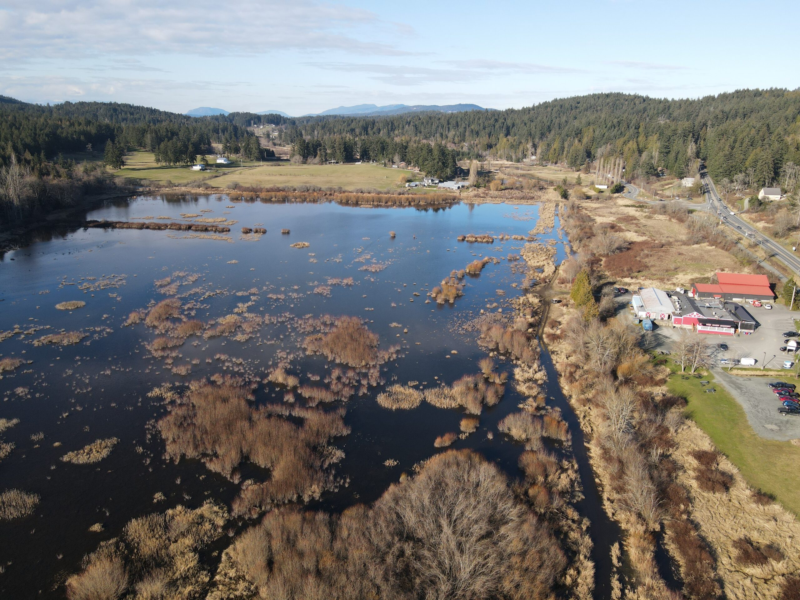
Throughout the late 2010s, we built several new riffles in Ward Creek and in the stretch of Tod Creek mainstem between Lohr Rd and Hartland Ave, while rock and gravel were added to many stretches to support coho salmon and cutthroat trout spawning. We also improved stream flow in Tod Creek Flats by clearing debris, digging a series of channels, and installing culverts to successfully guide coho salmon and cutthroat trout trapped by low water levels back into Tod Creek. These new additions also improved overall drainage of the Flats, reducing flooding both upstream and downstream.
We've also worked with Fisheries and Oceans Canada on a PIT (Passive Integrated Transponder) tagging program. A PIT tag is a small electronic microchip with a unique ID number that's inserted into the body cavity of a juvenile fish. When a tagged fish swims over an antenna array installed in the bed of the creek, the unique ID number is recorded, allowing us to estimate timing and survival of out-migrating smolts and returning adults. This data also helps inform where and when to release re-stocked coho salmon in the watershed. As with all of our fish population rebuilding efforts, the Goldstream Volunteer Salmon Enhancement Association, which operates Goldstream Hatchery, is integral to our programs by providing out-planting stock.

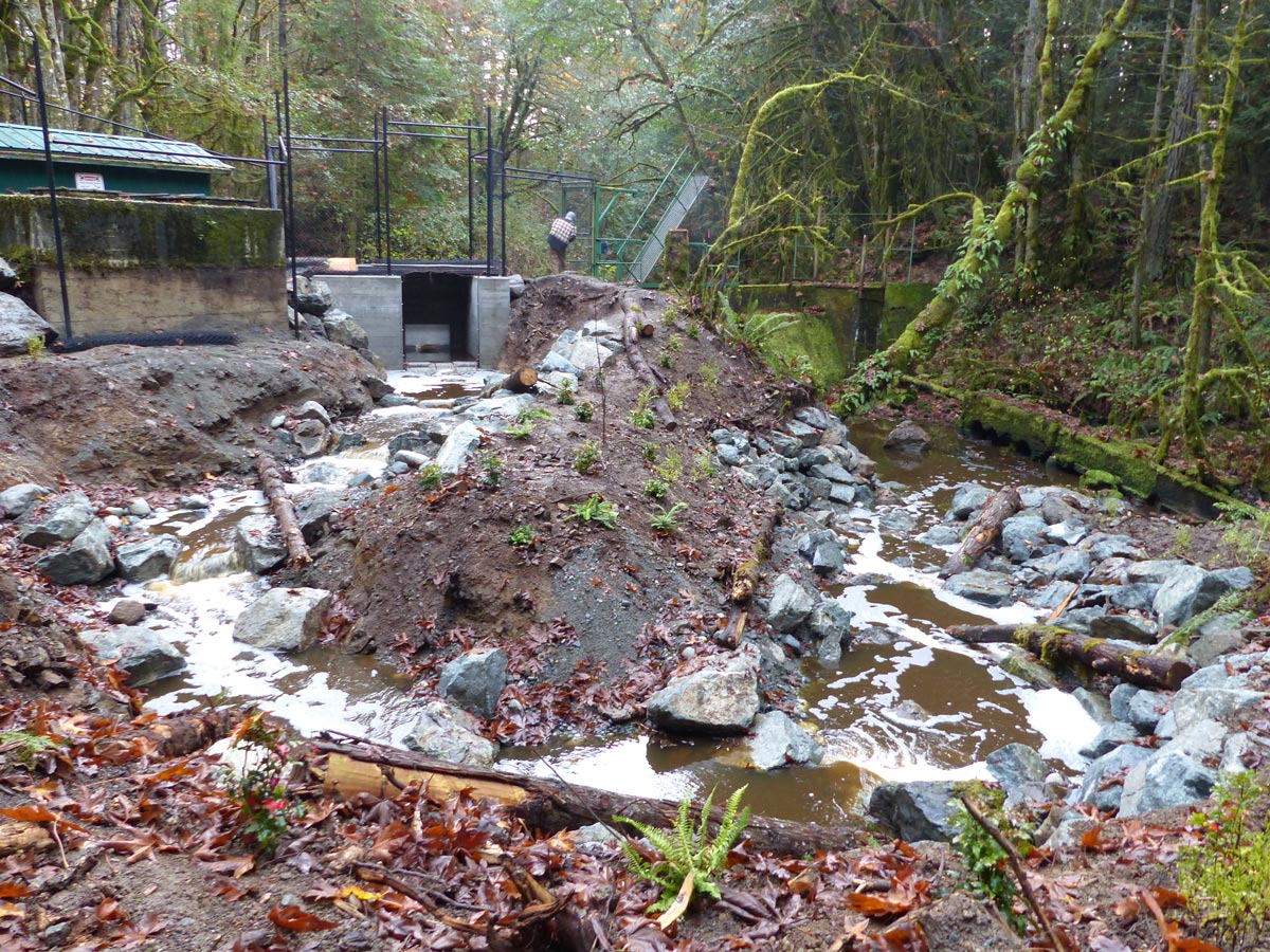
Fishway over the Gowlland Tod Provincial Park dam

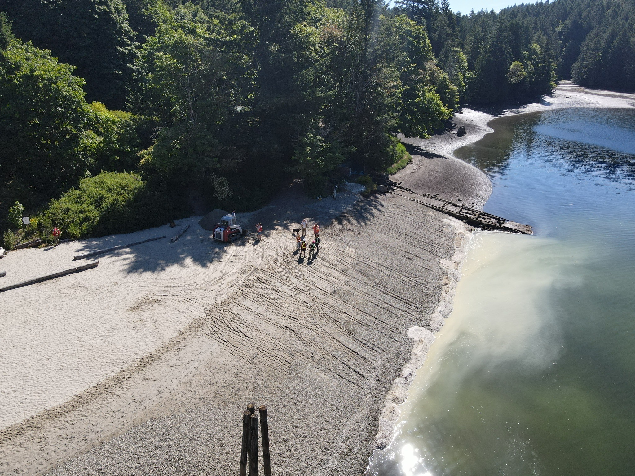
2017 SṈIDȻEȽ beach restoration project

Whitehead Park, where Prospect Lake drains into Tod Creek
Tod Creek Flats, showcasing the newly excavated channels (dark lines)
In 2015, Butchart Gardens funded the construction of a fishway over the Gowlland Tod Provincial Park damn to help coho salmon and cutthroat trout as they travel upstream to spawn, eliminating the barrier to fish passage created by the century-old dam. The fishway is about 30 m long and functions like a ladder, with step-pools at progressive heights to help the fish through the dam area. In 2019, we installed a motion-detecting camera at the top of the fishway to count returning fish. This camera was funded by significant donations from the Sidney Anglers Association and the Pacific Salmon Foundation.
In 2017, we participated in SeaChange Marine Conservation Society's beach restoration project of SṈIDȻEȽ, a sacred place to the W̱SÁNEĆ peoples. SṈIDȻEȽ (pronounced ‘sneed-kwith’) means "Place of the Blue Grouse" in the SENĆOŦEN language, and dates back to the beginning of W̱SÁNEĆ history as the first village site. The W̱SÁNEĆ peoples lived at SṈIDĆEȽ for centuries before the village was burnt down in the 1600s by a Haida raiding party. Survivors of the raid left to found the two villages currently known as W̱JOȽEȽP (Tsartlip) and SȾÁUTW̱ (Tsawout). In 1859, SṈIDĆEȽ was renamed Tod Inlet by European settlers who moved in and began agricultural production in the area. In the early 1900s, a cement plant was operated in SṈIDĆEȽ, leading to the extensive environmental degradation of the adjacent lands and waters still seen today.
This multi-phase beach restoration project involved the removal of concrete debris and contaminated slag material on the beach, and the distribution of clean sand and gravel brought in via barge. The backshore was also stabilized and enhanced with logs and native vegetation. Today, the beach is widely enjoyed by the public for recreation, and restoration efforts of the surrounding area continue by various groups, such as PEPAKEṈ HÁUTW̱, through student and volunteer events like invasive species removals and native plantings.
